Led by Barry, with me and Gordon. Track walking, then riverside. Clear paths, very flat, dry underfoot apart from a small section in Portholme Park. Just over 9 miles. Weather mostly dry, some sun, a couple of showers. Cold wind. Coffee and a toasted teacake in Godmanchester.
Photos taken with Fujifilm FinePix L55 - my very cheap point and shoot.
 |
| Offord Cluny church |
We leave the church behind us and turn right past the village hall, and then left along New Road, heading east. This soon becomes narrow, and climbs up gently to reach Waterloo Farm. Here it becomes a bridleway, and turns slightly to the right, then due south for a hundred or so yards, before swinging left and due east once more. Before long it joins a north-south bridleway - with signposts.

We take the route to Godmanchester - north. It descends gently for almost 2 miles into the town. This is part of the Pathfinder Long Distance Walk

The Pathfinder Walk (46 miles) was designed by the RAF as a heritage trail in memory of the RAF Pathfinder Force and links up the 4 airfields (Wyton, Graveley, Oakington and Warboys) used by the Pathfinders when they were set up in 1942. The route runs through farmland, fen and open heath but also has some road walking.
 |
| Godmanchester |
There is a friendly café, so we stop for a break and elevenses.
 |
| The Queen Elizabeth Grammar School |
In May 1561, at the request of the townspeople, Queen Elizabeth I issued letters-patent granting her name to the school.
The two pictures below are of a building erected in 1844 by one mayor, Edwd Martin and enlarge in 1899 by another mayor, W. Gadsby.


I like the chimneys.
 |
| messing about on the river |
 |
| The view should improve when the construction work is finished |
 |
| The Chinese Bridge |
We cross the bridge into the lovely riverside parkland, but have to pause to shelter from a sudden hailstorm.

We walk as far as Portholme Meadow, reputed to be the largest meadow in England. It was formed from silt when the Great Ouse flooded, and according to the info board it still floods in the winter. It's covered with buttercups and a small pink flower at present.
We're now walking along the Ouse Valley Way, and follow the path.
 |
| Comfrey flowers by the path |
We see Hinchingbrooke Castle on our right, before the path turns south close to the river.
 |
| Hinchingbrooke Castle has sprouted a phone mast |
The trees and hedge shelter us effectively from the wind, and we're tempted by a picnic table and bananas at a Brampton pond in a conservation area.
 |
| Pond and conservation area |
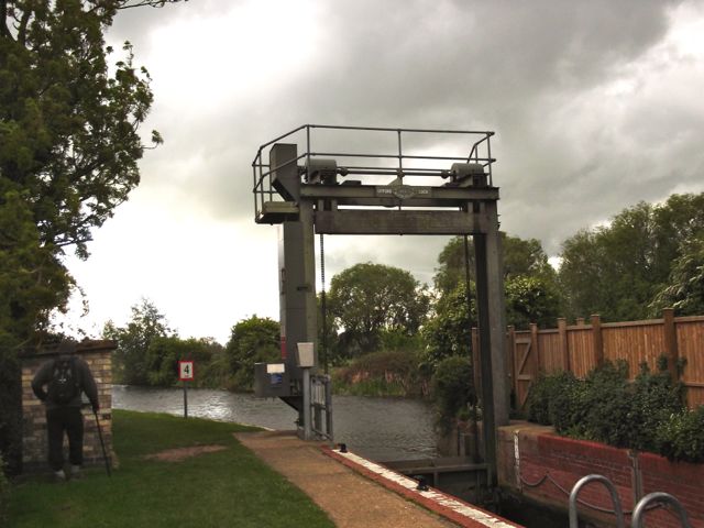
We make our way past Buckden Marina with its very upmarket chalets and boats, and arrive back at Offord Lock. It's a short walk to the car.
 |
Wildlife - the usual swans, geese, ducks, a couple of terns, some swifts.
No comments:
Post a Comment